Hitchhikers guide to Ikaria

Just stick your thumb out and the first car to pass is likely to pick you up. That’s the short version :)
Anyhow… short of buying or renting a car, hitching is pretty much the only way to move around Ikaria. And very reliable one at that. Except on weekends and really remote roads (relatively speaking of course, since everything is rather remote by usual standards) you’re bound to get a lift within 15 minutes. Even if they don’t appear to have any space left you’ll just end up sitting on someone’s lap or hang halfway out the window sharing a seat with fellow passengers :)

The ride will most likely be one of the pickup trucks (Toyota Hilux, Nissan Navara, Mitsubishi L200, Mazda B series, Isuzu D-Max, Ford Ranger etc.) of every imaginable generation. They all still run after several decades on less than favorable terrain. As do small 4x4s such as Suzuki Vitara, Jimny, Samurai, Lada Niva, Daihatsu Terios etc. These are probably the most useful cars IMO as the roads are narrow, rough and some turns impossibly tight.
The other most common form is the delivery van. Nissan Vannete seems to be very popular but only has two seats (but as mentioned above that’s hardly an issue). Other cars vary from old Yugos (apparently some made it out of Yugoslavia and all ended up on Ikaria), various FIATs, Hyundais, Toyotas and the like. Most show signs of serious abuse (have I mentioned the roads aren’t all that good?) :)

I’ll end this with some photos (see many more in gallery)
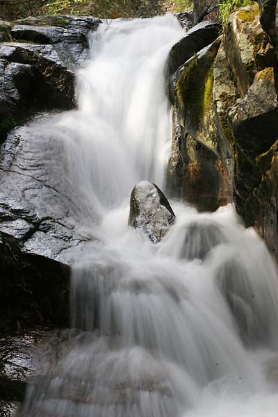
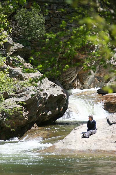
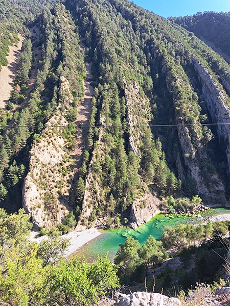
Charaka valley
Charakas river, photo copyright: Archipelagos/Jernej Burkeljca
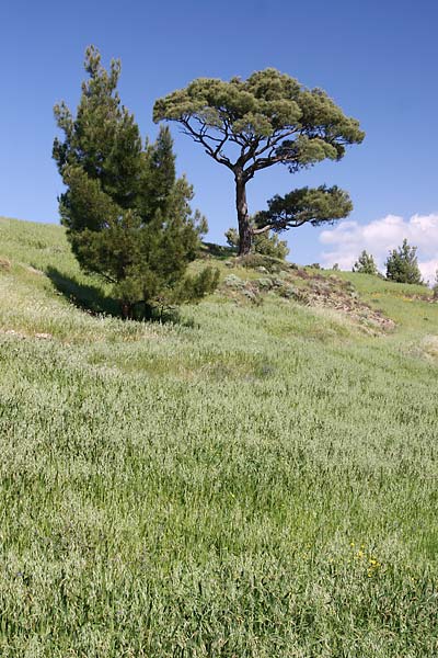
wheat fields
wheat fields above Kato Raches, photo copyright: Archipelagos/Jernej Burkeljca
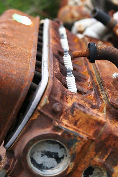
engine block
rusted engine block

Jude's mum
Jude’s mum & Chalares river , photo copyright: Archipelagos/Jernej Burkeljca

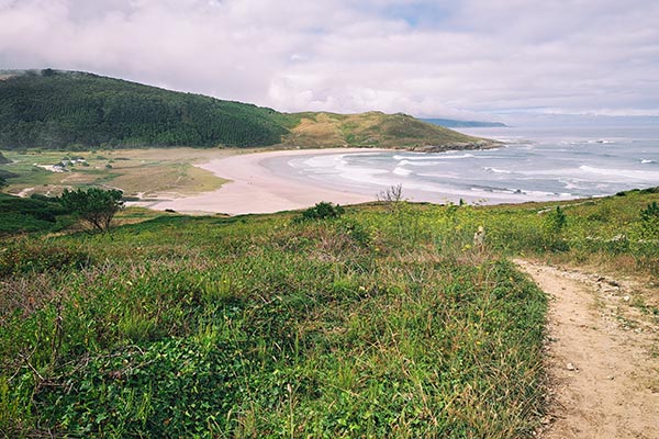
trippin’

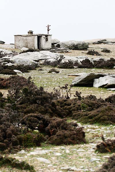
Papou Logari/Varka plateau
a hut & signpost on Ammoudia plateau

I uploaded a few photos to the gallery to give you a quick taste of Ikaria. We’re a bit restricted in our net traffic because the bandwidth limit for the month was exceeded already (no, I didn’t download any movies) :) so this is probably all you get for the next week or so.

I’ve been walking around quite a bit in the past few days (except when it was raining hard all day on saturday) just getting to know the area around Raches and searching for otters (or otter poo, whichever comes first) but that’s a story for some other time :) So far it’s been great and the area is quite simply amazing. I never imagined there’d be so much water on a greek island. There’s water flowing everywhere! :) It’s a shame that most streams and rivers will probably dry out in a few weeks or months.

That’s all for now…

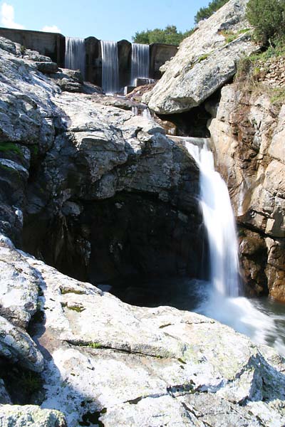
Kastanies reservoir
Kastanies reservoir, photo copyright: Archipelagos/Jernej Burkeljca

My Aegean Campaign

Thus begins my 3 months on an Aegean Campaign (although very much unlike those described in books such as: Long Road to Leros, Marine B, The Aegean campaign & The Aegean Mission).

No, mine will be quite the opposite. I’m gone on a three month internship with Archipelagos – Institute of Marine & Environmental Research of the Aegean Sea on the island of Ikaria just west of Samos, where I’ll be doing above and underwater photography and probably some filming related to their research.


Open larger map

Ikaria itself is (appart from a very recognisable name) rather misterious, as in, there’s hardly any info to be found anywhere.
Naturally my first impulse was to dig around on the web. Other than a few general websites, some photo galleries (Flickr to the rescue), crappy sattelite imagery and geotagged photos on Google Earth I’m pretty much in the dark.
And you can forget guidebooks. LP gives you 3 pages in their Greek Islands guidebook, Rough Guides manages 1-2 and the others I’ve managed to dig up in the library might mention it with a paragraph of two.
To be fair, there might be something in the Dodecanese & the East Aegean Islands by Rough Guides.

Not saying it’s a bad thing though! I’m all the more intrigued by it. However, I was hoping I’d manage to uncover some detailed topographic maps or satellite captures (something like Geopedia would do in a pinch) ;) I imagine I’ll be doing a fair bit of hiking up in them hills around the island and a good map is always a welcome addition to the arsenal.

Other than not having any real idea where I’m going or what exactly I’ll be doing it’s all good. Can’t wait.

« New postsOlder posts »

Gallery