Rock hoppers
 Comments(3)
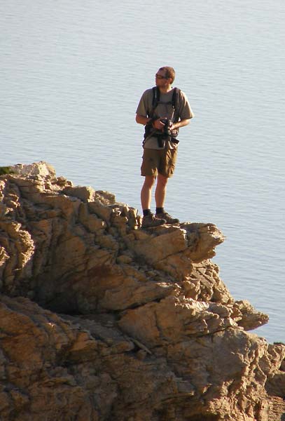
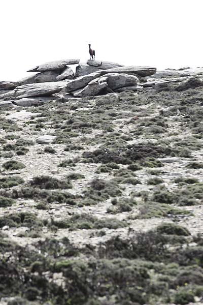
(photo by Johanna Robinson)
A couple of weekends ago we rented Suzuki Jimnys (one of the best miniature 4x4s you can find) to explore the island properly. Since most of us don’t get the chance of leaving the office during working hours, such day trips provide some much needed relaxation. For those of us that have been to pretty much everywhere within walking distance of the base however, the cars provide a very welcome extension in range of operations. And if you’re willing to get up before sunrise it means you have pretty much half a day head start before everyone else gets out of bed (on a weekend that is) so you can spend the whole morning on your own.
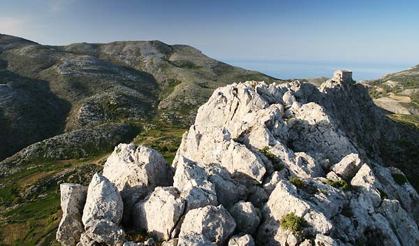
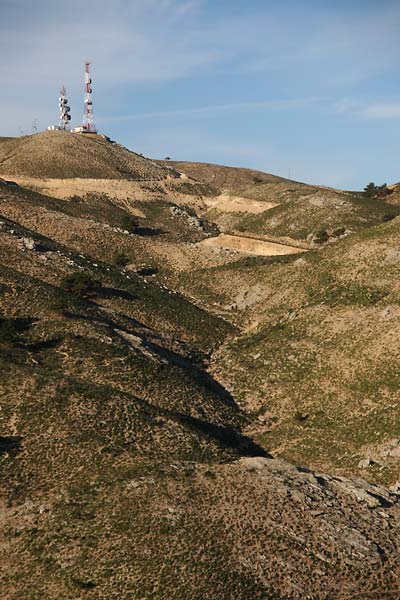
On one such Saturday I managed to convince Johanna to get up early as well. Coming home from a wedding party a few weeks earlier I noticed how the morning sun lit up the Loupastra-Schiza ridge in most glorious light so that’s where we were going. It’s nearby so you don’t have to get up ridiculously early (time is relative of course) and I was hoping of getting some nice photos but, as is always the case, reality wanted nothing to do with my imagination. So rather than chasing images I couldn’t get I went chasing what I could. I got some acceptable photos of this and that but my mind quickly switched into climbing mode while we were walking down from Loupastra and towards Schiza.
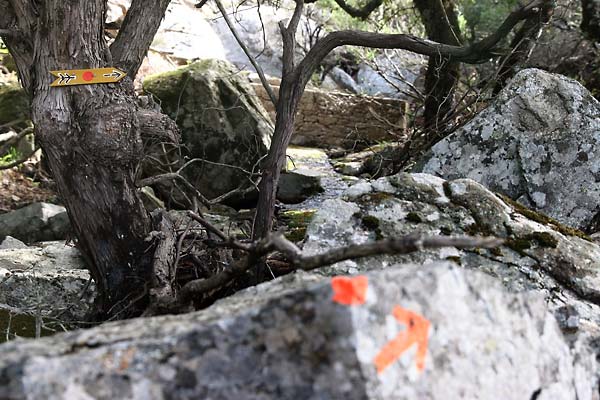
You can take the easy way up (from that approach), of course, but I noticed a particular set of rocks leading up to the top on the right. It was a gentle morning introduction to climbing on Schiza.
 (click to open larger)
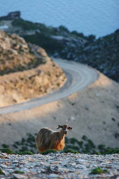
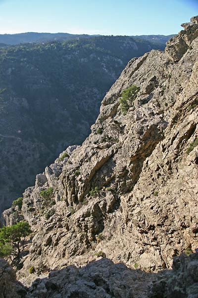
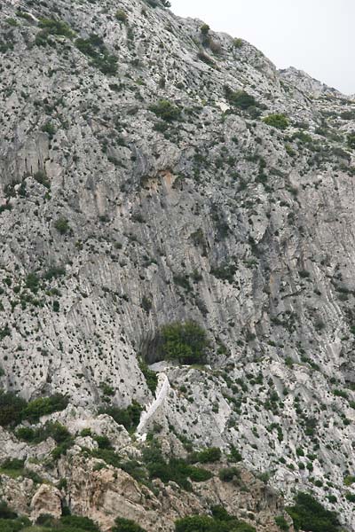
From the top I took some photos of Chalares river below and came up with a perfect framing of a photo.
(photo by Johanna Robinson)
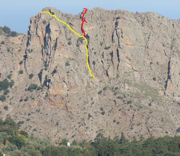
It just needed someone to stand on a particular rock… there were no goats around on that side (how odd?!) so I asked Johanna to come up to the spot I was standing on and started a descent (see yellow line on photo above). My plan was to come up from underneath since that looked like the best approach to where I needed to go. As I was scrambling down it gradually became obvious it probably wasn’t. It was definitely possible, but not without proper climbing equipment.
So I turned around and started making my way back towards the other peak.
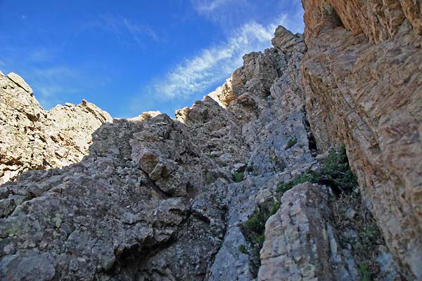
The beginning was very easy with some loose rocks that were sliding down occasionally but as it turned towards vertical the rock became much more pleasant to hold on to. I turned into a chimney so rather than looking for footholds I could just use friction (so easy on this granite).
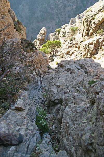
But even so there were plenty of nice grips and cracks all over the place so I was never fumbling around too long.
Somewhere midway I noticed an easy escape to my right that led me almost to the spot I envisioned earlier. I didn’t want to spend more time going down again (by this time Johanna must have been pretty bored waiting for me) so I turned around, got back into my couloir and continued up all the way to the top.
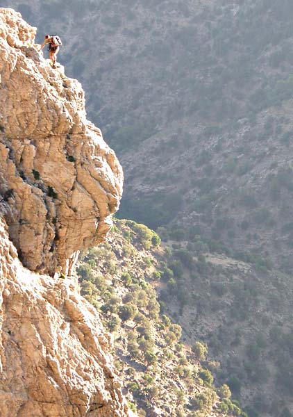
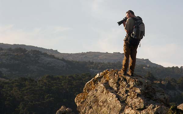
(photo by Johanna Robinson)
All in all, I’d give this route an overall climbing grade of III or IV, apart from putting up with the sun shining directly at you, there’s nothing seriously demanding that would absolutely require the use ropes and other safety equipment. You just better not have vertigo.
There is, of course, a lot more you can do around here, as far as rock climbing is concerned, but use of ropes and other stuff quickly becomes a real necessity. One such area worthy of exploration is the canyon leading from Dipotama to Raksounia waterfall.
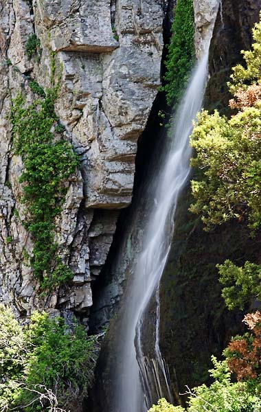
Raksounia waterfall, photo copyright: Archipelagos/Jernej Burkeljca
The trail that takes you to the waterfall is easy enough (if a bit steep at times) but the sides of the canyon closer to the stream itself (especially the northern/right side one) are very inviting. Don’t forget about safety though. The rock is very loose and often falls apart when weight is applied… judging from the short bit I climbed before abandoning the idea for the day.


