Archive for the 'aegean' Category

trippin’

Papou Logari/Varka plateau
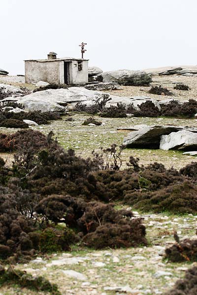
a hut & signpost on Ammoudia plateau

I uploaded a few photos to the gallery to give you a quick taste of Ikaria. We’re a bit restricted in our net traffic because the bandwidth limit for the month was exceeded already (no, I didn’t download any movies) :) so this is probably all you get for the next week or so.

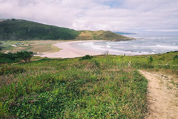
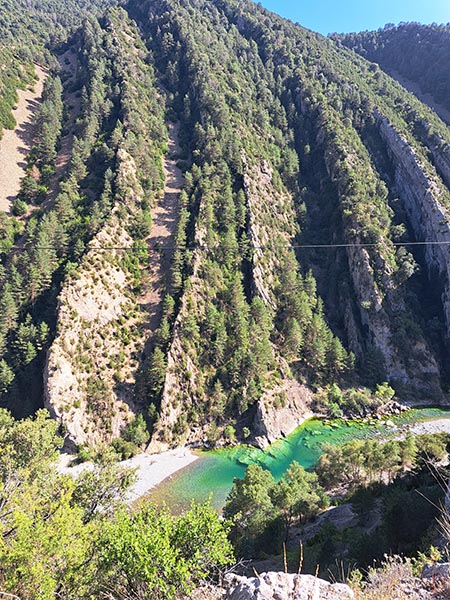
I’ve been walking around quite a bit in the past few days (except when it was raining hard all day on saturday) just getting to know the area around Raches and searching for otters (or otter poo, whichever comes first) but that’s a story for some other time :) So far it’s been great and the area is quite simply amazing. I never imagined there’d be so much water on a greek island. There’s water flowing everywhere! :) It’s a shame that most streams and rivers will probably dry out in a few weeks or months.

That’s all for now…
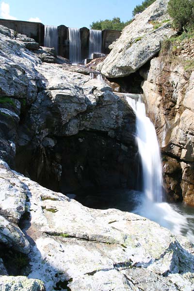
Kastanies reservoir
Kastanies reservoir, photo copyright: Archipelagos/Jernej Burkeljca

My Aegean Campaign

Thus begins my 3 months on an Aegean Campaign (although very much unlike those described in books such as: Long Road to Leros, Marine B, The Aegean campaign & The Aegean Mission).

No, mine will be quite the opposite. I’m gone on a three month internship with Archipelagos – Institute of Marine & Environmental Research of the Aegean Sea on the island of Ikaria just west of Samos, where I’ll be doing above and underwater photography and probably some filming related to their research.


Open larger map

Ikaria itself is (appart from a very recognisable name) rather misterious, as in, there’s hardly any info to be found anywhere.
Naturally my first impulse was to dig around on the web. Other than a few general websites, some photo galleries (Flickr to the rescue), crappy sattelite imagery and geotagged photos on Google Earth I’m pretty much in the dark.
And you can forget guidebooks. LP gives you 3 pages in their Greek Islands guidebook, Rough Guides manages 1-2 and the others I’ve managed to dig up in the library might mention it with a paragraph of two.
To be fair, there might be something in the Dodecanese & the East Aegean Islands by Rough Guides.

Not saying it’s a bad thing though! I’m all the more intrigued by it. However, I was hoping I’d manage to uncover some detailed topographic maps or satellite captures (something like Geopedia would do in a pinch) ;) I imagine I’ll be doing a fair bit of hiking up in them hills around the island and a good map is always a welcome addition to the arsenal.

Other than not having any real idea where I’m going or what exactly I’ll be doing it’s all good. Can’t wait.

« New posts

Gallery