Above 65° tour
I’ve been having problems with fGallery plugin since I first started using it. The code is badly structured, full of bugs and the author apparently gave up on it altogether. Overall it’s not a bad gallery plugin, actually it’s quite good in a limited environment, however as the number of images increases the user is soon facing two huge issues. The first one is non-existent album nesting which would improve navigation, the second a more serious overwriting of photos with identical file names. If you shoot with two cameras, or simply shoot so many images that the counter starts again from zero, you inevitably bump into this limitation. One solution would be to rename all images but that’s just silly… And since I haven’t managed to solve the coding problem myself and I haven’t received any sort of feedback from the author (or any other user) in over a year I decided it’s time to switch to another gallery system called NextGEN. Which comes with its own great deal of ridiculous problems, least of which is importing all previously uploaded images. And solving these issues takes time I don’t really have and that’s why the Scandinavian road trip report comes delayed by a few months to put it mildly. And that’s why there’s very little going on content-wise in the gallery itself and will continue to remain in the same state for a while. The only section of this blog in constant motion despite everything is my Google Reader shared items feed which I hope one or two people enjoy.
The trip
With that preamble sorted out, here’s a rough overview of our roadtrip in an old Volvo 440. Altogether about 4600km on the meter done in a week.
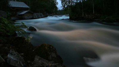
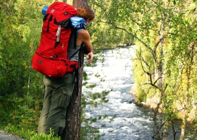
Which makes people think all we did was drive all day. True to some extent :) but we also hiked the 12km Pieni Karhunkierros (small bear loop) trail in Oulanka National Park. We drove there in a day from Lahti (stopping for a quick tour of major cities on the way), hiked in the northern summer twilight to the nearest campsite next to Pyöreälampi lake and continued to complete the loop clockwise (which is smarter as you avoid walking up a fair number of steps) in the morning. Before sleeping though, I also took the opportunity of the disappearing twilight for a midnight trail run and do some light painting at night on Myllykoski rapids.
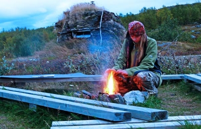
After completing the scenic loop in the morning of day two, we drove to Pallas-Yllästunturi National Park, via Rovaniemi city tour. Getting there well after the lights went out and reindeer started running around, we were looking for a dry hut or shelter with a view next to Pallasjärvi lake (as the map suggested) however the place either did not exist or it was the one that was locked and available upon reservation only (which was not mentioned in the map). It wasn’t until Jonna took the map from my hands that she found kota (this being the Finnish word for a small hut/shelter that I didn’t know at the time) written clearly on the map in another part of the park. Except the map didn’t have an icon of a hut in that location… which made it a bit of a gamble. Could it just be a place called Kota rather than an actual hut?
Since it was only about 20min drive and 10min hike from the lake we decided to relocate there anyway and not camp out on the (dry) porch of some abandoned looking cottage. The hiking portion to the hut started next to NP visitor centre so at least we had options.
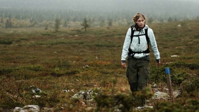
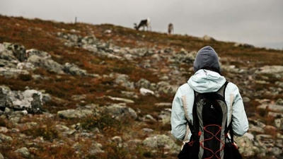
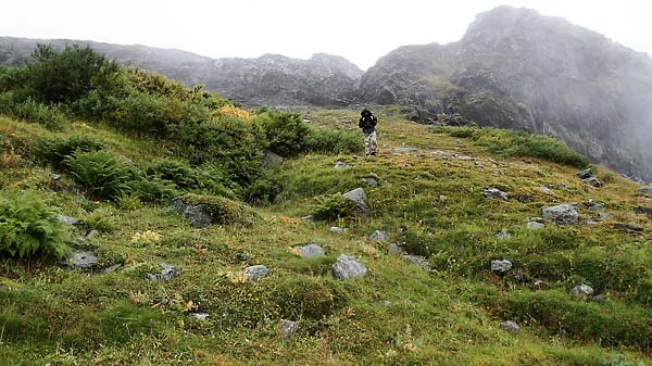
The next morning (day 3) we scrambled up 240 vertical meters past herds of reindeer to the top of Palkaskerro, hiding in a cloud that obstructed our view of the park somewhat. It was quite a sight regardless. Completing the 7km loop back to the car didn’t take that long and we were pretty soon back on our way to Kilpisjarvi and Saana fell.
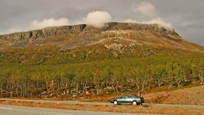
The original plan was to go up to Saana (1029m) in the evening, sleep in a hut on the far side and complete the loop the next morning but an employee at the visitor centre told us it wouldn’t be possible to sleep in the hut (for reasons I can’t remember but it could have been something to do with reservations). Seeing rain clouds (again) on the horizon we figured sleeping in our poor tent wouldn’t be an option so we continued towards Norway.
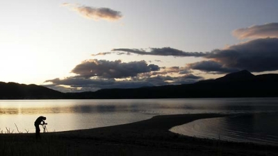
The landscape changed dramatically, to say the least, as soon as the border crossing appeared. It was a mountain fairytale and the roads were beautiful to drive (something for the Top Gear bunch). Thus we continued down to the sea and south towards Narvik. Sometime just before sunset at 11pm we found a beautiful spot on the beach, just off the main road, where we pitched our tent. It was some sort of protected nature reserve with camping prohibited signs and all that, but since we were armed with a plethora of excuses (ornithologists on a mission etc.) and the fact the tent was hidden behind bushes just meters inside the zone (and meters off the road) we felt confident nobody would kick us out during the (very bright) night. The Lyngen alps were stunning in the sunset light.
On day 4 we continued south-west towards Narvik for some supply shopping before setting off for Lofoten islands. Turns out Narvik (in addition to being a historic WWII site) has a pretty decent ski area just above the city. As it’s all in a fjord it is also quite steep. Sweet, have to visit in winter sometime.
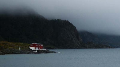
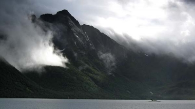
Lofoten islands have been a dream destination for me ever since I saw a Rossignol calendar with some amazing photos taken there. They most definitely didn’t disappoint. It is the most amazing island chain I have ever seen. And the sea is as translucent as air. One might say it’s a bit cold, but not that much thanks to the gulf stream. We had a brief swimming/lunch break in one of many rest areas with a grand view of the mountains surrounding the fjords and continued towards Svolvær on AustvÃ¥gøy island. It’s a ridiculously expensive town to say the least. And if they could charge you for breathing their air they probably would.
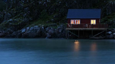
Since it was raining heavily pretty much all day we chose not to sleep in a drenched tent and took off on a mission to find the cheapest accommodation possible. We decided on one of the “authentic” fishing huts (sjøhus or rorbuer) just outside of town. It wasn’t cheap.
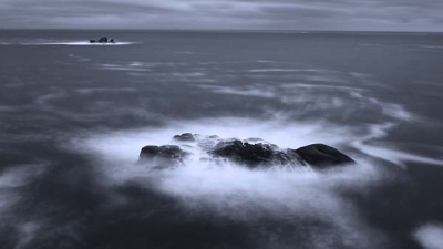
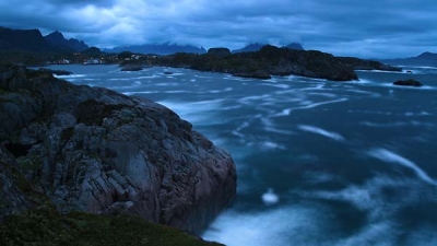
But it was comfortable and dry and warm and had electricity to charge GPS and camera batteries. So we dozed off. But before I went to sleep I simply needed to see what was around us. So in proper heavy rain expected of the north Atlantic/Arctic Sea I climbed up some sea cliffs overlooking the approach to the harbour and began taking photos next to some abandoned concrete bunker which I suspect was last used during WWII. Long exposure photos of a ship on rough seas didn’t turn out quite the way I expected (I honestly don’t know what I did expect) but photos of waves crashing over rocks did. At least I hope. Because I like taking night photos at sea and I like the results and I wish I lived next to the sea where a proper storm can develop.
Since the rain didn’t ease on day 5 we abandoned hope of hiking up one of endless number of mountains around us, and we abandoned hope of a whale safari, kayaking, snorkelling or anything else that required ridiculous amounts of money the day earlier. So we went back to the mainland and up to Abisko National Park across the border in Sweden. We started the hike along Kungsleden trail from Abiskojavri lake in glorious sunshine and made our way to Teltlagret mountain shelter some 1.5h away, half way up to our goal of summiting Giron (1543m). And pretty much at that point it started to rain again so we just went to sleep.
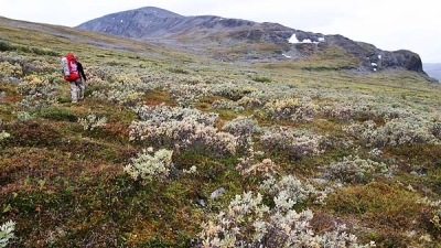
We had a family of reindeer for a breakfast visit on day 6, then got back on our way, off-trail (as that ends at the shelter) to the top of Giron. Unfortunately the constant rain and soggy terrain didn’t offer much encouragement so we abandoned the attempt when we got on the north ridge. It just didn’t seem worth it to continue in the circumstances so we turned around and started finding the best, though not the shortest way back on the Kungsleden trail down in the valley. Needless to say we were soaked after slogging through the swampy terrain (with very welcome bits of permafrost thrown in), to the point where we just didn’t care how wet we were. The moss, which makes up most of the terrain in the area, is capable of absorbing enormous amounts of water and when you sink into it knee deep you quickly realize GoreTex isn’t really waterproof and start believing in the local custom of hiking in wellies. I was however just a bit worried about the cameras although they performed flawlessly even after the sensor washing cycle lasting all day.
After a very brief swim in the freezing cold waters of Abiskojavri we continued south-east to Kiruna for lunch (no reindeer burger available that day I’m afraid) and onwards to some rest stop around Overkalix. I opted for sleeping outside, Jonna slept squished in the front seat of the car and since I couldn’t sleep for long in my uncomfortable position I just started driving again around 4am on day 7. And we didn’t really stop for the next 17 hours until we got back to Lahti. Breakfast in Tornio, a quick swim in the Baltic sea and lunch at Kalajoki sand dunes and dinner in Jyvaskylla. By the end of the day I could hardly sit in the car anymore. I was going crazy. I was ready to give up on driving anywhere for at least a month. I lasted less than a day :)
Here’s the rest of the photos
 Comments(0)